
Santa Paula Neighbors by Record Layer
A block lookup is a set of linked records, not a single public neighbor list. County View locates parcels. The Assessor supplies address and APN clues. The Recorder shows transfers. City permit files show projects and named roles. Historical reverse directories add adult occupants for particular years. Voter data can support an approved request, but the public self-check is for the voter who authenticates. Community groups may publish officers or events while keeping member rosters private.
| Source | What It Shows About a Block | Access |
|---|---|---|
| Ventura County View | Parcel shapes, adjacent lots, streets, and planning or jurisdiction layers | Free map, search, and parcel clicks |
| Ventura County Assessor | Situs address, APN, roll attributes, and selected parcel details | Address or APN online; counter or request for public nonposted data |
| Ventura County Recorder | Ownership transfers and common subdivision or legal-description links | Appointment or counter search; no public neighbor report |
| Santa Paula permits and code files | Address projects, case dates, and public applicant or contractor roles | City department or CPRA request |
| Approved voter file | Registered residence by address or precinct for permitted users | Secretary of State or Ventura Elections request only |
| Reverse directories | Adult occupant listings in a street-number sequence for a given year | Library or history collection, year-specific |
| Neighborhood and civic groups | Public officers, meetings, events, and contact points | Public pages; member lists usually private |
These layers do not have equal weight. A parcel line can establish adjacency, but an owner name does not establish occupancy. A permit applicant may be an agent or contractor. A directory entry may be stale or omit other adults. The safest result says which record supports each statement about Santa Paula neighbors.
Select a Santa Paula Neighbor Parcel
Begin with the address that anchors the question. The Ventura County Assessor Property Search accepts an address or APN, while County View places the parcel on a map. Record the situs address, unit, APN, ZIP, jurisdiction, and legal-description clue. If the address is near an incorporated edge, the city or county layer matters because the keeper of a permit or code file may change.
A target parcel is the starting point, not a legal definition of neighbor. For immediate-block research, mark parcels that share a boundary and parcels across the street. For a wider radius, define a distance for analysis and label it as such. Do not silently turn a map circle into a claim about a person, household, or community relationship.
Address → APN and legal description → target parcel → shared-edge and across-street parcels → one report per parcel → lawful record checks.
When a question expands from the immediate block to every address on a named road, use the Santa Paula street directory workflow instead. It owns the whole street chain; the neighbor lookup stays close to the target parcel.
Santa Paula County View Edges and Buffers
County View is a mapped viewer, so the work is visual and parcel by parcel. Search the target address or APN, zoom until lot lines are clear, select the target, and write down its identifier. Close or move the selection before clicking the next parcel. Select every lot sharing an edge, then check the parcels across the street. The map’s legend and layers help separate incorporated Santa Paula from county jurisdiction and add the planning or agency context available in the current viewer.
- Search the target address, APN, place, or layer option offered by the live viewer.
- Open the target parcel and record its APN, situs, jurisdiction, and map position.
- Pan or zoom outward and click each shared-edge parcel, then the across-street parcels.
- Use the legend to identify parcel, planning, hazard, or jurisdiction layers instead of mixing them.
- Use measure, distance, area, or buffer tools only to describe an analytical radius, then print or share a dated map.
Layers change. A dated print or shared map state preserves what the viewer showed when the block was examined. A distance tool can measure space, but it cannot decide whether someone is legally a neighbor, a member of a group, or an occupant of a building.
Note: County View parcel lines are informational and are not a survey or title record.
Santa Paula Parcel Reports, One at a Time
County View’s Parcel Report is selected from a mapped parcel. Open it separately for the target and each surrounding lot. A report may expose the APN, situs, jurisdiction, geometry, land-use or zoning field, district details, assessed land and improvement values, roll year, building characteristics, and links to map or Assessor material when those fields are connected. Owner or mailing names may be withheld from the public Internet view under California rules.
Compare a Parcel Report with the Assessor record, but do not treat matching mailing and situs addresses as proof that the owner lives there. A tax notice can go to a trust, a relative, a management address, or another place. Parcel data is best for mapping the block and locating the next custodian. It is not a household register.
- Situs address
- The physical location assigned to the parcel or building.
- APN
- The Assessor’s administrative parcel identifier used to connect map and roll records.
- Legal description
- Lot, block, tract, or metes-and-bounds wording that identifies land in a recorded instrument.
- Parcel Report
- A single-parcel information view selected from the map, not a certified survey or title report.
Santa Paula Voter Status Is Self-Only
California’s My Voter Status portal authenticates the voter who is checking a record. The form asks for first name, last name, date of birth, and the last four digits of a California driver license or ID card, with alternative instructions for a voter without those identifiers. CAPTCHA and the live authentication choices also apply. A successful check can show registration status, address, districts, precinct, voting location, ballot details, or participation status, depending on election timing.
That is useful for a person checking their own registration. It does not let the public enumerate Santa Paula neighbors by street or block. A failed match means that the submitted identifiers did not authenticate. It does not prove that a person is unregistered. Voter records also exclude signatures, Social Security numbers, driver-license values, and confidential participants.
California Elections Code section 2194 controls voter-file disclosure. The public self-check and an approved file request are different access paths.
The official Santa Paula neighbor lookup boundary at My Voter Status is visible in the self-authentication form.
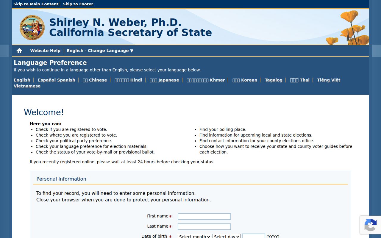
The form supports a voter’s own check, not a public list of who lives on the surrounding block.
Santa Paula Approved Voter Files Stay Restricted
The California voter information file request is for approved statutory purposes, not casual neighbor research. A request identifies the requester, organization, exact purpose, geography and fields, statutory category, security and storage plan, intended users, acknowledgement of use limits, signature, and payment. Approved fields can include name, date of birth, registration date, residential or mailing address, precinct, permitted contact fields, party preference, status, and optional participation history. Ballot choices are never released.
The Secretary of State guidance describes a specific-record option and statewide or file requests. The research notes $30 per specific record, capped at $100, while Ventura’s 2025 to 2026 fee schedule lists a $32 setup fee plus $15 for a master-file USB and $50 plus setup for a precinct-index USB. Check the current schedule and eligibility before making a request. An approved user may sort lawful data by residence address or precinct. The public cannot use My Voter Status to do that.
The official voter information file instructions for Santa Paula neighbor research show why an approved file is a controlled records channel.
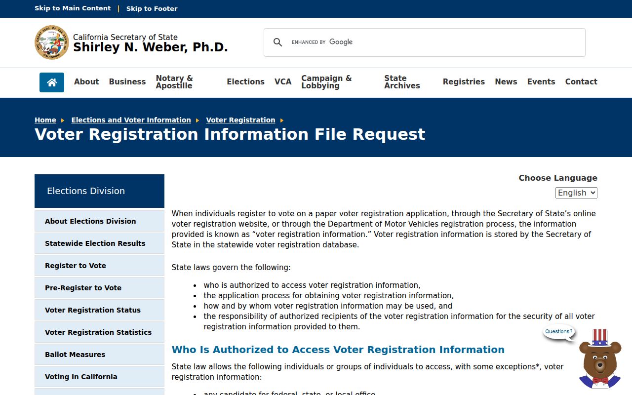
Use the file rules to understand access limits, not as a shortcut around the privacy boundary for a block.
Safe at Home for Santa Paula Addresses
Some people do not appear at a familiar address because California’s Safe at Home program provides a substitute mailing address, mail forwarding, confidential voter registration, and related protections for eligible participants. The Secretary of State Safe at Home questions and answers explain the program’s boundaries. Government Code sections 6205 through 6211 support the confidentiality structure, but it does not erase older records.
Government Code section 6209.5 can allow the designated mailing address to be used in certain deeds, change-of-ownership filings, and deeds of trust. A legal description may still reveal a parcel. A neighbor lookup should therefore describe an unavailable address as a privacy-protected gap, not infer where the person lives from a substitute address or another family member’s record.
The official Safe at Home guidance for Santa Paula neighbor privacy shows why a missing name or address can be an intended protection.
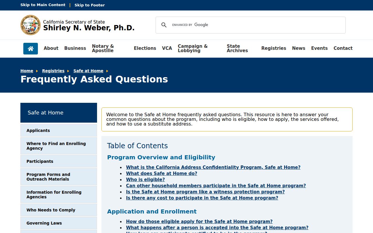
Protected participation is not a signal to search harder. It is a reason to stop and preserve the person’s privacy.
Santa Paula Community Contacts
Community records add a civic layer to the parcel map, but Santa Paula has no verified umbrella neighborhood-association member directory in the researched sources. A public officer, meeting notice, or event contact is not the same as a roster of households. Homeowners associations are private corporations. Secretary of State filings can identify an entity or agent, but they do not create a general member list. Neighborhood Watch groups, congregations, and clubs should be treated the same way unless an organization intentionally publishes a public contact list.
Santa Paula’s historic downtown and valley-floor residential fabric sit beside hillside and east-area development and surrounding agricultural land. The postal city, incorporated limits, broader Santa Clara River Valley, and county parcels do not line up perfectly. Use the current jurisdiction layer and legal description rather than assigning an informal neighborhood label to a parcel.
| Community layer | Useful public contact | Boundary |
|---|---|---|
| Santa Paula civic geography | City districting and neighborhood descriptions | Civic map context, not a resident roster |
| Santa Paula Historical Society | Searchable local collection catalog | Catalog objects and local memory, not private membership |
| Museum of Ventura County Research Library | Directories, maps, newspapers, and reference appointments | Access and donor restrictions vary by collection |
| Chamber, churches, clubs, and veterans groups | Public business, officer, event, or obituary contact where intentionally posted | Membership and care records are private unless released |
| HOA or Neighborhood Watch | Publicly posted meeting or contact information | No verified public member directory was located |
Use a city page to understand civic geography and a historical catalog to find a named item. Do not use either as proof that a person lived on a particular block. An organization can confirm its own public contact channel; it cannot be assumed to confirm every neighbor.
Santa Paula Safety Registries Are Narrow
California’s Megan’s Law Website is a state registry with name and map or address-radius search modes, disclosure limits, and use warnings. It is a specific public-safety record, not a directory of Santa Paula neighbors. A map result has a defined registry purpose and should never be expanded into a claim about everyone living nearby.
Read the warning and use the record only for a lawful, safety-focused reason. Do not approach, threaten, publish, or harass anyone based on a registry entry. The registry also does not replace County View, a deed, a court file, or a custodian’s official correction process.
The official California Megan’s Law source for Santa Paula safety information demonstrates how narrow a registry record is.
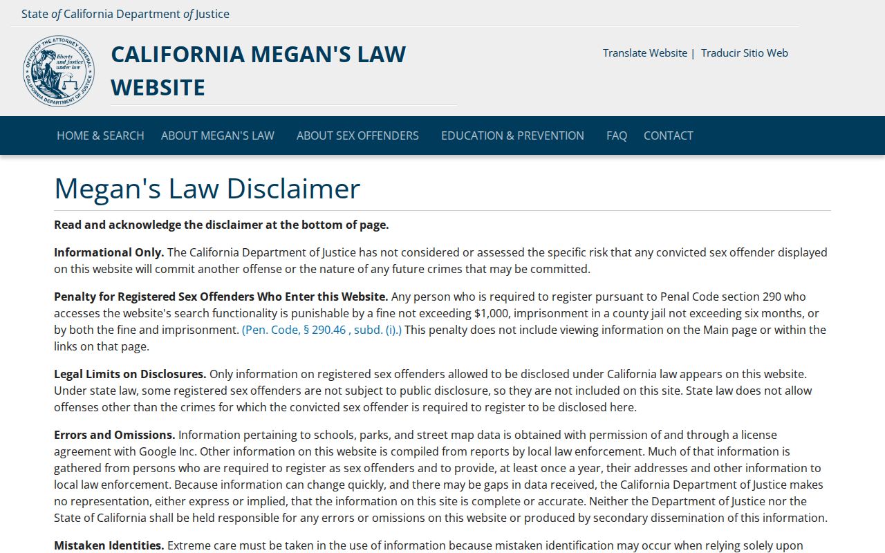
A safety registry may answer one defined question. It cannot identify the full block or establish ordinary neighbor relationships.
Official and Commercial Santa Paula Neighbor Tools
Official sources and commercial neighbor tools work from different evidence. A county map is tied to a parcel. A recorder index is tied to an instrument. A historical directory is tied to a publication year. Commercial tools may combine public records, marketing data, and inferred associations, then merge people with similar names. Use the comparison below to keep the categories separate.
| Category | Best use | Important limit |
|---|---|---|
| County View and Assessor | Locate parcels, APNs, situs fields, and jurisdiction layers | Ownership may be limited online; ownership is not occupancy |
| Recorder and city files | Confirm transfers, projects, dates, and named filing roles | Appointment, counter, request, redaction, and record-type limits apply |
| Directories and local history | Place an adult or event in a specific historical year | Runs are incomplete and entries do not list every household member |
| Commercial neighbor tools | Generate a broad lead for personal research | Results can be stale, merged, inferred, costly, or hard to correct |
When a commercial result conflicts with a custodian, keep the official record and record the conflict. Do not use a blended profile as proof of an address, household, or relationship.
Privacy Rights for Santa Paula Neighbors
California privacy law gives people rights to know, delete, correct, and limit some uses of personal information, along with a right to opt out of sale or sharing subject to exceptions. The Attorney General’s consumer privacy guidance is the right place to check current instructions. A broker opt-out does not erase a Ventura deed, a city permit, or a court record. Those records are controlled by their custodians and follow separate access and correction rules.
The official California consumer privacy source for Santa Paula neighbor information explains rights that may apply to collected personal data.
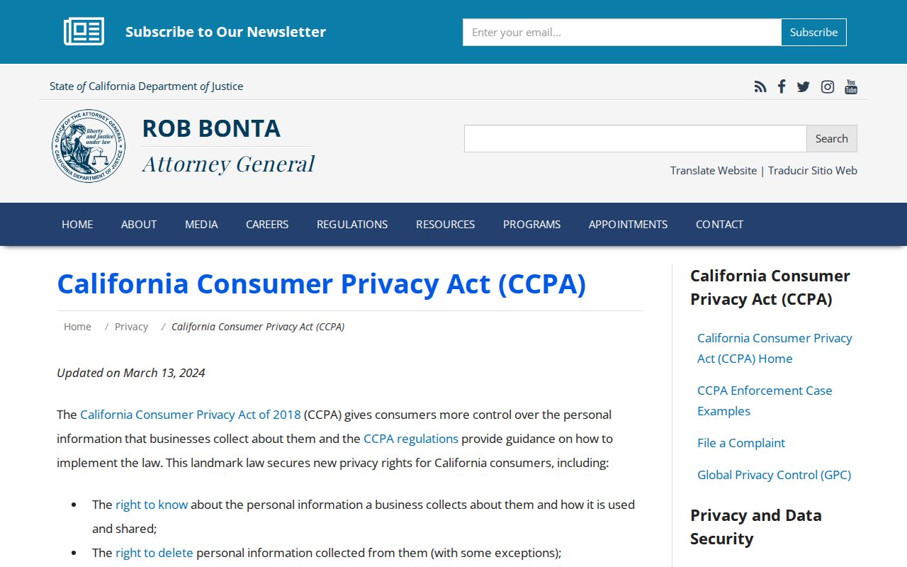
Use the guidance to make a focused request, limit unnecessary disclosure, and keep confirmation of any request sent to a data holder.
If a block record appears in an identity-theft message, fake deed notice, or payment scam, use the California Attorney General identity-theft guidance. Preserve the message, URL, document number, and known contact details without forwarding private information. Verify a recorded document with the Ventura County Recorder and report identity theft through the official consumer channels.
The official California identity-theft guidance for a Santa Paula neighbor record concern is a safer response than confronting a person named in a questionable file.
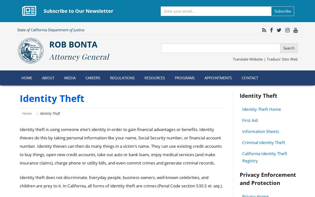
Keep a neighbor lookup narrow, date the source, and use the custodian’s correction path when a record is wrong.
Lawful use. Santa Paula neighbor research is for understanding a block, reconnecting, civic curiosity, and personal safety awareness. Do not use records to watch, stalk, intimidate, threaten, or harass any person.