
Santa Paula ZIP Code Coverage
Verified local coverage separates a street-delivery ZIP from a post-office-box ZIP. The table below is deliberately narrow. No official city or USPS source inspected for the Santa Paula research verified an additional ZIP or a dated ZIP realignment, so a commercial list should not be used to add one.
| ZIP | Areas Covered | Post Office | Notes |
|---|---|---|---|
| 93060 | Core Santa Paula and surrounding delivery territory | Santa Paula Post Office service area | Standard street-delivery ZIP; postal city does not prove a city-limit location |
| 93061 | Santa Paula post-office boxes | Santa Paula Post Office | PO-box ZIP; it does not describe residential street geography |
Use the official postal service address-validation tool for a particular delivery point. A ZIP Code Directory can state verified coverage, but it cannot turn a postal route into a household roster or add an unverified boundary.
93060 in the Santa Paula Delivery Area
93060 is the street-delivery ZIP associated with core Santa Paula and the surrounding delivery territory identified in the research. That reach is postal, not municipal. A mailing address can carry a Santa Paula postal identity while sitting outside incorporated city limits, so the number is a starting clue for delivery and address normalization rather than proof of jurisdiction.
Validate the complete street address, including directional, unit, and delivery details, before sorting any local record. Then compare the result with the Ventura County County View city-boundary and jurisdiction layers. County View can show where a parcel sits; USPS confirms where a particular address is delivered. Those checks answer different questions.
93061 and Santa Paula PO Boxes
93061 is the Santa Paula Post Office PO-box ZIP identified by the local records research. It appears on the Santa Paula City Clerk mailing address, including P.O. Box 569, Santa Paula, CA 93061. That example shows why a ZIP can identify a mail channel without describing a residential street. A PO-box number is not a parcel, situs address, or evidence that a person lives within a neighborhood.
Use 93061 when routing a letter or interpreting a post-office mailing record. Do not place it on a street map or use it as a stand-in for a set of Santa Paula households. When a record gives only a PO box, ask the issuing office whether a physical address or another public field exists instead of guessing from the postal city.
The Santa Paula City Clerk is the local custodian for municipal records and can explain which address fields appear in an existing record.
Finding Santa Paula Residents by ZIP Code
There is no verified public ZIP-wide resident search for Santa Paula. The Ventura Assessor and County View interfaces are oriented to an address, APN, map, or parcel report. California’s public voter tool authenticates one voter and does not enumerate a ZIP. An approved voter-file user may sort delivered data by residence address or precinct for a permitted purpose, but that route is not a general name list.
- Validate the full delivery address with USPS and keep the returned ZIP with the address record.
- Search the Ventura County Assessor Property Search or County View by address or APN, not by an assumed household list.
- Check the County View jurisdiction layer before choosing a city or county records custodian.
- Use California My Voter Status only for the voter’s own authenticated check; it requires identity fields and cannot list a ZIP or street.
- For an approved voter-file request, document the lawful purpose, requested geography, fields, security, and use limits before sorting by residence area.
Once a ZIP narrows the address set, the Santa Paula street directory is the more precise place to follow an address and parcel chain.
Santa Paula ZIP Searches in County View
County View helps test the geography behind a ZIP, but the inspected interface did not verify a bulk ZIP resident mode. Its useful search fields are parcel-oriented. A missing ZIP field is not a flaw to work around with guesses; it is a signal to validate one address at a time.
| Street Address or Address | Text or autocomplete; use the situs address, and omit a unit or directional if an exact search fails. |
|---|---|
| Assessor Parcel Number | Text field for the Ventura parcel identifier; punctuation may be normalized. |
| Map search | Pan, zoom, and click a parcel when an address match is unclear. |
| County View Search | Address, APN, place, or layer search as offered in the live viewer. |
| Layers and Legend | Toggle parcel, agency, city-boundary, and other theme layers; the live list can change. |
| Identify and Parcel Report | Select a mapped parcel to open commonly requested parcel information. |
| Measure, Print, and Share | Measure distance or area and save a dated map state where enabled. |
County View can establish the parcel and jurisdiction behind an address that carries 93060 or a PO-box mailing clue. It does not return a verified list of every person associated with that ZIP.
Santa Paula Building and Business Jurisdiction
A ZIP can point toward Santa Paula services, but the city line still controls which permit and license custodian holds an existing record. Santa Paula Building and Safety is at 200 S. 10th Street and lists 805-933-4218, weekday counter hours of 8:00 a.m. to noon and 1:00 to 4:30 p.m., alternate-Friday closures, and a 4:00 p.m. cutoff for next-business-day inspection requests. No official address-searchable permit or code index was verified, so an address history should be requested from the department or through the city request portal.
The Santa Paula Building & Safety page shows the city contact and service boundary used for this kind of request.
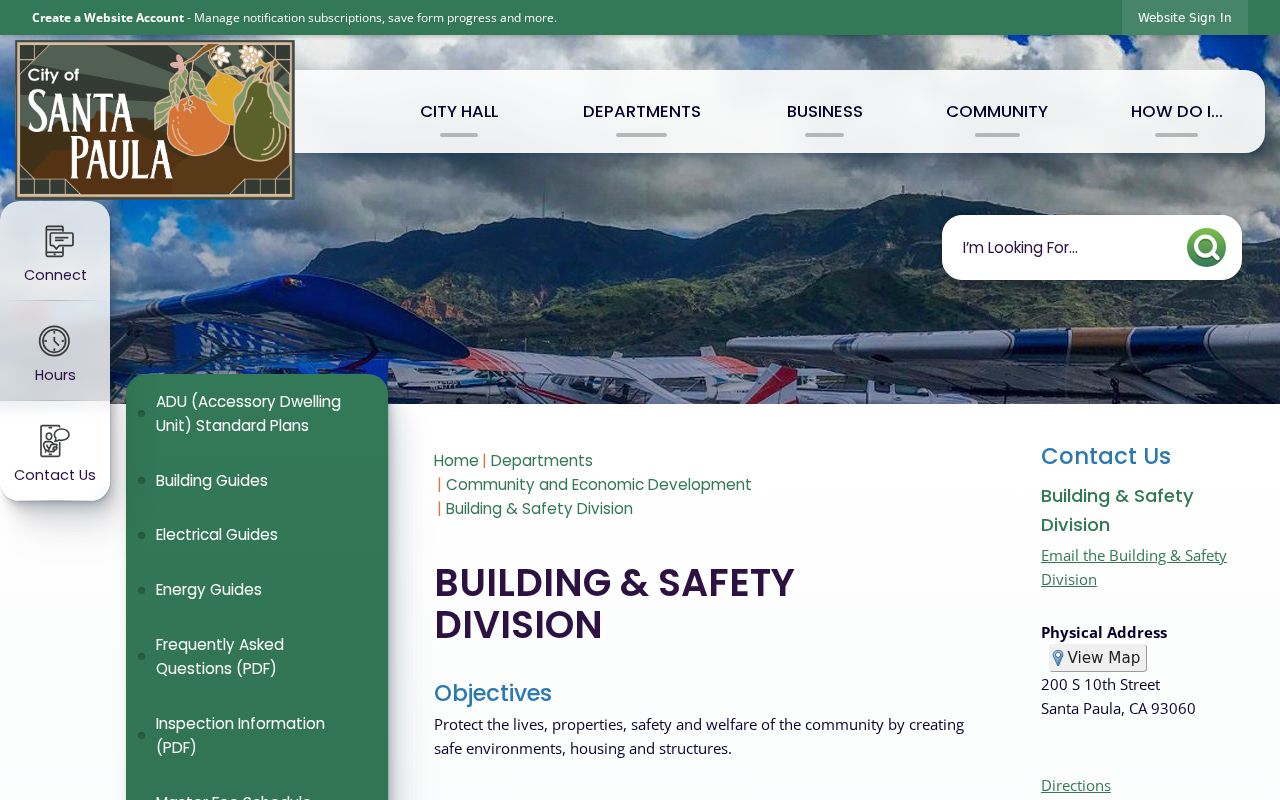
The Building & Safety view is useful for distinguishing a city-held permit question from a county parcel question, even when both records share a postal ZIP.
Santa Paula business-license materials list BusinessLicenseInfo@spcity.org and 805-933-4211 extension 219. They provide forms and licensing guidance, not a verified public licensee lookup. The city business-license page is the correct source for current forms and contact details.
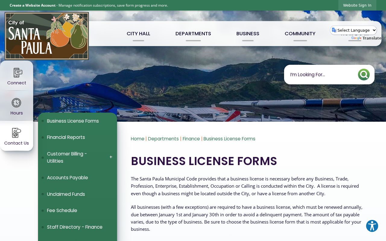
A business filing can identify an organization or public contact. It does not convert a postal address into a resident list.
Santa Paula ZIP Lines and City Limits
ZIP codes route mail. They do not define Santa Paula municipal jurisdiction, neighborhoods, school attendance, voting precincts, or parcel ownership. The practical mismatch is clearest at the edge: a 93060 mailing address can be outside the incorporated city, while a city-related mailing record can use a PO-box ZIP. County View’s jurisdiction layer, the parcel APN, and the legal description provide the stronger location test.
East Area annexations can change city or county permit jurisdiction without changing the Santa Paula postal identity. The research did not verify a complete annexation boundary list, a street-renumbering year, or a formal east-west numbering baseline, so no such detail should be invented. Compare the current map with a legal description, subdivision record, Sanborn sheet, or APN lineage when an older address does not line up.
Mismatch check. Treat a ZIP as a mail-routing clue. Confirm the physical parcel and city or county custodian before using it to interpret a resident, permit, voter, or property record.
The Santa Paula districting material adds civic geography that should not be mistaken for postal geography.
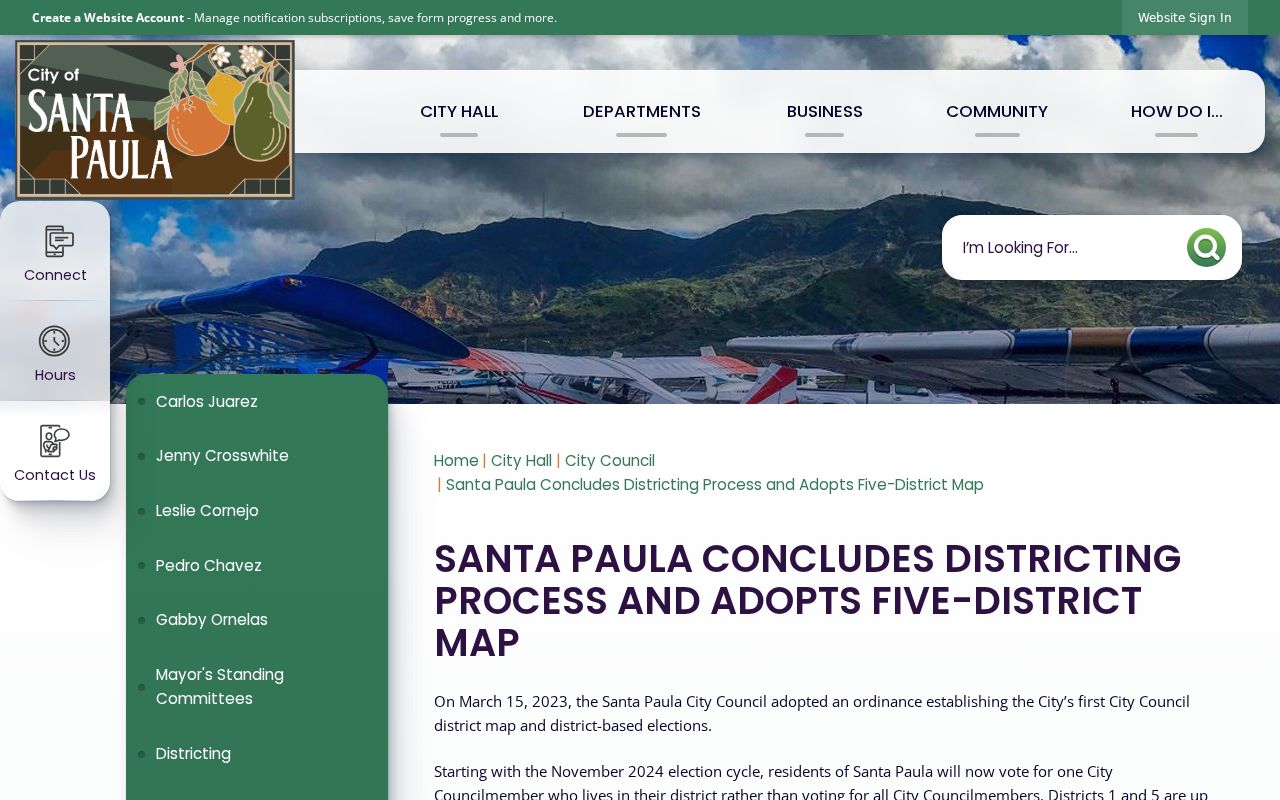
District descriptions can help orient a local question, but a district label does not change a delivery ZIP or prove who lives in it.
Santa Paula APN, ZIP, and Legal Description
Three identifiers often travel together but serve different tasks. The ZIP routes mail, the APN joins a parcel to assessor and GIS records, and the legal description preserves the land identity through transfers or address changes. A street number can change or be incomplete on an old deed, while the subdivision, lot, block, or metes-and-bounds description may still connect the record.
- ZIP
- A five-digit postal delivery area. It is not a city boundary or a household directory.
- ZIP+4
- An added four-digit delivery segment that narrows routing inside a ZIP; it does not identify an occupant.
- PO-box ZIP
- A ZIP used for post-office boxes, such as the Santa Paula PO-box route, rather than street geography.
- Unique ZIP
- A postal code assigned to one institution or special delivery operation, not a normal neighborhood.
- Carrier route
- A delivery path within a postal area. It is a routing concept, not a parcel or resident boundary.
Keep the APN, situs address, mailing address, jurisdiction, and legal description in separate fields. County View and the Assessor start with the parcel; the Recorder uses the legal description and indexed parties; USPS validates the delivery point.
Santa Paula Civic Geography Layers
Records can cross several maps at once. Santa Paula is an incorporated city in Ventura County, while the county parcel system, city services, voting precincts, school areas, and court districts follow their own boundaries. A ZIP search that skips those layers may send a request to the wrong office or make a mailing address look like a city-limit fact.
Ventura County lies in the federal Central District of California. The Central District court site is therefore a useful reminder that court geography is separate from postal geography.
The federal district image does not identify a Santa Paula ZIP or household. It shows why the correct jurisdiction must be checked for the record type being requested.
Santa Paula ZIP Code Directory Limits
A Santa Paula ZIP code directory can verify that 93060 is used for street delivery, explain why 93061 is a PO-box route, and point a researcher toward address validation. It cannot provide a public list of residents, decide whether a parcel lies inside the city, or show private household members. The Assessor and County View are address and parcel tools. My Voter Status is a self-check. An approved voter-file request is a controlled records process, not a casual ZIP search.
For a city permit, code case, or business record, ask Santa Paula whether the existing record can be exported by ZIP or address. A narrowly framed request through the Santa Paula public-record portal should name the department, date span, address, permit or case number, and desired format. The custodian may need to apply exemptions or explain that a requested ZIP field does not exist.
Use ZIP to validate mail, County View to test jurisdiction, APN to join parcel records, and the legal description to bridge time. That four-part check keeps a Santa Paula ZIP code directory useful without asking a postal label to answer a question it was never designed to answer.