
Trace a Santa Paula Street Directory by Address
The strongest Santa Paula street directory work keeps one identifying key intact from one record set to the next. Begin with a situs address, connect it to an Assessor Parcel Number, use that parcel to locate a title party, and then compare lawful voter or historical directory evidence. The chain is address to parcel to title party to authorized voter evidence to a reverse directory entry. Each link answers a different question, so no single result should be treated as a full household roster.
Start with the Ventura County Assessor Property Search and the County View parcel viewer. The Assessor display is address and APN oriented because California limits posting owner names as an Internet search key. County View adds map context, nearby parcels, and jurisdiction layers. The Recorder, city permit desk, voter system, and local history shelf then fill separate gaps.
- Normalize the address. Record the street number, direction, unit, postal ZIP, apparent jurisdiction, and any parcel clue. If the exact address fails, try the street without the unit or directional and use the map to select the parcel.
- Confirm the parcel. Search the Assessor by situs address or APN, then open the same location in County View. Save the APN, legal-description clues, parcel shape, and city or county layer shown for the location.
- Move from parcel to title. Obtain the vesting deed through the Ventura County Recorder appointment or counter channel. Search the current title party as a grantee, record the instrument number and date, and keep the legal description with the result.
- Use voter evidence only through an allowed route. The public My Voter Status check authenticates a voter with first name, last name, date of birth, and identification details. It cannot enumerate a Santa Paula street. Historical poll books or an approved voter-file request require an election year, precinct, and lawful statutory purpose.
- Check the historical street order. Ask Blanchard Community Library or the Museum of Ventura County Research Library for a reverse or criss-cross volume, then compare its address sequence with the forward alphabetical section and the closest census schedule.
Search Santa Paula Street Records in County View
Ventura County separates the property search page from the interactive map. The Assessor is the useful starting point for a situs address or APN, while County View lets a researcher pan, zoom, identify a parcel, and inspect adjacent lots. Neither tool is a verified public owner-name directory. A parcel report can expose commonly requested parcel information, but Internet owner or mailing fields may be withheld.
The official County View user guide describes the controls below. Use the map as an index to the parcel, not as a survey or title opinion. Record the date of a map view because layers and agency data can change.
| Field or tool | Type | Required | Santa Paula use |
|---|---|---|---|
| Street Address / Address | Text or autocomplete | No | Use the situs address; omit a unit or directional when an exact search fails. |
| Assessor Parcel Number | Text | No | Enter the Ventura parcel identifier; punctuation may be normalized by the portal. |
| Map search | Pan, zoom, or click | No | Navigate to a block and select the parcel that matches the physical location. |
| Search / Reset | Buttons | - | Run the query or clear it before trying another address or APN. |
| County View Search | Widget | No | Use address, APN, place, or layer search as the live viewer offers it. |
| Layers / Legend | Panel and check boxes | No | Toggle parcel, jurisdiction, planning, hazard, or other agency themes; the live list can change. |
| Identify / Parcel Report | Map click or widget | No | Select one parcel and open commonly requested APN, situs, geometry, and related fields. |
| Measure | Map tool | No | Measure distance or area for orientation, without creating a legal boundary. |
| Print / Share | Map tools | No | Make a dated map or shareable map state where the viewer enables those controls. |
A live parcel report may include APN, situs, jurisdiction, parcel geometry, land-use or zoning fields, district information, assessed land and improvement values, a roll year when linked, building characteristics, and links to Assessor or map documents. The exact result can vary. The County View user guide confirms the parcel-report, layer, measurement, printing, and sharing functions, while the live viewer controls the fields shown for a selected Santa Paula parcel.
Santa Paula Street Directory Record Layers
An address-keyed directory becomes useful when each record row is labeled for what it can actually establish. The County Assessor and County View locate the parcel. The Clerk-Recorder establishes indexed title events. Santa Paula departments preserve project and code files. Voter administration has a separate privacy rule, and older directories or census schedules describe listed adults near a date rather than legal ownership.
Use the coverage table as a handoff map. Keep the record keeper, access channel, and evidence type distinct when comparing one address with another along a Santa Paula street.
| Record set | Keeper | What it can show | Access |
|---|---|---|---|
| Assessment roll | Ventura County Assessor | APN, situs, valuation, parcel and building attributes; owner or mailing data through lawful channels | Address or APN search, counter, or public-record request |
| GIS parcel map | Ventura County agencies | Parcel shape, adjacent lots, streets, and contextual jurisdiction or planning layers | Free County View map and Parcel Report |
| Official records | Ventura County Clerk-Recorder | Grantor, grantee, deed type, recording date, document number, and record image when available | Scheduled search or counter service; copy rules apply |
| Tax bill or default record | Ventura County Treasurer-Tax Collector | APN, tax status, and statutory notices for the property | Online or counter channel; use address or APN |
| Permits and code files | Santa Paula Community and Economic Development | Project address, scope, applicant, contractor, dates, and status when releasable | Department request or Santa Paula public-record portal |
| Voter administration | California Secretary of State and Ventura Elections | Self-authenticated registration information or approved-use residence and precinct data | My Voter Status or restricted voter-file request |
| Directories and census | Local libraries, Museum collections, and NARA or FamilySearch | Listed adults, household relationships near a census date, address order, and historical context | Reference shelf, appointment, or year-specific digital census access |
The parcel number can join an assessment view to a GIS map and then to a deed search, but it does not turn the chain into a resident list. A permit applicant may be an agent or contractor. A directory entry may represent one listed adult. A matching mailing and situs address can be a clue, not proof that the title holder lives there.
Santa Paula Street Directory Address Keys
Address records use terms that sound interchangeable but are not. A situs is the physical place. A mailing address is where notices go. An APN joins the Assessor and map systems, while a legal description carries title across a changed street number or a parcel split. These distinctions matter in Santa Paula because postal identity, incorporated city limits, county parcels, and older rural or tract references do not always line up.
Read the terms below before comparing a modern parcel with a historical street entry. The goal is to preserve the strongest stable key without turning a map label into a claim about a person.
- Parcel
- A mapped unit of land used by the Assessor and County View. One parcel can contain more than one structure or address.
- Situs address
- The physical location of a building or parcel. Permit and map systems usually key on this location.
- APN
- The Assessor Parcel Number used to join assessment and GIS information. It can change after a split or merger.
- Legal description
- The subdivision, lot, block, or metes-and-bounds language used in a deed. It is a stronger continuity clue than a street number.
- Plat
- A recorded map that lays out lots, blocks, streets, or easements. It helps explain the parcel shape and an older address reference.
- Criss-cross directory
- An address-order directory section that moves from street number to listed adult or business entry. It is not a complete household or title record.
Santa Paula Street Deeds Backward
The Ventura County Recorder is the title-history stop after a parcel has been identified. In a grantor and grantee index, search the current title party as the grantee to locate the deed by which that party acquired the parcel. Then identify the grantor and search that seller as an earlier grantee. Repeat the loop while checking the legal description and APN at every turn.
Ventura County's inspected Recorder pages do not publish a verified remote field list, exact online cutoff, image pricing, or complete result screen. The verified access path is scheduled public search or counter service. The official index gate warns that an index is like a card catalog and directs researchers to try spelling variants and other criteria. An index entry is not the same as the recorded instrument.
The Recorder self-service index notice is the right starting point for its current disclaimer and access gate. A lead-in to the official records page also shows the public record setting used for this Santa Paula address research.
Ventura County Recorder records access provides the source context for the street-level deed trail described here.
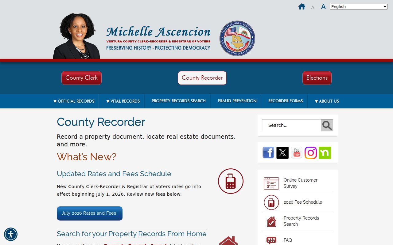
The Recorder image connects the address workflow to the county office that holds recorded deeds, liens, releases, maps, and related official records.
- Search the current title party as grantee and note every indexed party role, document type, recording date, document number, and book or page clue.
- Read the instrument or order the official copy, then identify the grantor and the legal description rather than relying on a street number alone.
- Search the grantor as an earlier grantee, including spelling variants, spouses, trustees, estates, and other indexed roles when the document supports them.
- Separate a deed, quitclaim, trust transfer, lien, release, or probate transfer from an arm's-length sale. A title change does not prove a household move.
Note: A Recorder index can locate an instrument, but only the official document and legal description can support a careful title conclusion.
Santa Paula Street Permits by Address
Permit and code files add a civic layer to Santa Paula address research. Santa Paula Building and Safety is at 200 S. 10th Street and lists 805-933-4218 for contact. Posted counter hours are 8:00 a.m. to noon and 1:00 p.m. to 4:30 p.m. on weekdays, with alternate-Friday closures. The department also posts a 4:00 p.m. cutoff for next-business-day inspection requests. These are office access facts, not a promise that every older file is online.
No official address-searchable city permit or code index was verified. Ask for a project address and date range at the department or use the Santa Paula public-record request portal. A useful request names the department, address, permit or case number, date span, and desired electronic format. Ask to inspect first when the volume or scope is uncertain. The City Clerk, at its municipal records desk, is the public-record custodian route for city-created material.
Note: Keep owner, applicant, contractor, project contact, and complainant roles separate; request public portions by address and date because active cases can be limited.
Santa Paula Street Lines and Jurisdiction
A Santa Paula mailing identity does not settle which office holds a record. Ventura County was organized in 1873, while Santa Paula incorporated in 1902, so county record custody and city record custody follow different historical boundaries. County View's jurisdiction layer can distinguish incorporated Santa Paula from county territory, while city departments handle city-created permits and the county handles deeds, vital records, assessment, and most court matters. The broader Santa Clara River Valley also includes agricultural parcels and older ranch references that may not look like a modern numbered street.
East Area annexations can change permit responsibility without changing a Santa Paula postal identity. The research did not verify a formal street-renumbering year list or an east-west numbering baseline, so do not invent one. Compare the APN, legal description, plat, historical map, and County View city layer when an older directory line does not match a current address. The city's official Fast Facts page supplies local geography and incorporation context, but it is not a parcel index.
Jurisdiction check. Use the County View city or county layer before sending a permit request. A postal city and a municipal boundary can describe different things.
That check keeps a street directory search from sending a county question to City Hall or a city permit question to the Recorder. It also helps explain why two nearby parcels may have different public-record paths.
Santa Paula Reverse Directories by Street
Older reverse or criss-cross directories put the street number before the name, which makes them useful when a current address is the starting clue. Blanchard Community Library is the local first stop for directory, telephone-book, yearbook, newspaper, obituary-file, and genealogy questions. Ask reference staff for Santa Paula, Ventura County, suburban, telephone, and criss-cross variants rather than requesting only a volume titled Santa Paula.
The Museum of Ventura County Research Library also holds countywide directories, voter indexes, assessor and property records, court material, maps, newspapers, and family papers. Exact Santa Paula reverse-directory years and an official obituary-index run were not verified in the research materials. A reverse entry can identify a listed adult near publication time, but it does not prove title, a full household, or a current address.
For collection details and the rules for reading a historical entry, the Santa Paula city directory collections provide the companion shelf context. The street directory remains the address-keyed path for modern parcels, deeds, permits, and jurisdiction checks.
Santa Paula Street Voter Limits
California's My Voter Status portal is a self-lookup, not a public Santa Paula street directory. The form asks for first name, last name, date of birth, and California driver-license or identification-card details, with alternative instructions for a voter without those identifiers and a CAPTCHA. A successful check can show registration status, registered address, party preference, precinct or district information, polling details, and voting history functions depending on the election cycle. It never shows ballot choices.
A nonmatch means the submitted identifiers did not authenticate. It does not prove that a person is unregistered. Elections Code section 2194 restricts ordinary disclosure and personal, private, or commercial use of voter records. An approved requester can use the state voter-file process with a statutory purpose, form, fee, geography, fields, security plan, and acknowledgement of use limits. Ventura Elections is at 800 S. Victoria Avenue in Ventura, 805-654-2664, elections@ventura.org. Exact Santa Paula poll-book years were not located online.
Note: Historical registration registers should be requested by election, year, or precinct from the county, Museum collections, or State Archives, not by treating self-lookup as enumeration.
Limits of a Santa Paula Street Directory
A parcel record can show title parties, assessment clues, a project role, or an address in a historical listing. It cannot show every person who uses a building. Household members not named in a title or filing, private utility and delivery accounts, DMV address data protected by the Driver's Privacy Protection Act, and confidential voter addresses remain outside an ordinary street directory search. An owner mailing address that matches the situs is still not proof of current occupancy.
Safe at Home participants may use a substitute mailing address and confidential voter registration. Older records are not automatically erased, and a protected address should never be reverse-engineered from a parcel clue. The same care applies to a name that appears in a deed, permit, directory, obituary, or court index. Match two independent anchors, keep the record date, and verify a disputed fact with the custodian.
Lawful personal use. Santa Paula address and parcel records can support family history, property history, civic research, and reconnecting with care. Do not use a street directory to stalk, threaten, intimidate, or harass any person, and do not use protected-record clues to defeat a confidentiality program.
A careful Santa Paula street directory search therefore ends with the same discipline with which it began: preserve the address key, identify the record's purpose, note its limits, and stop when the public record stops.